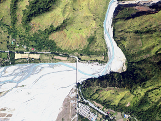
XCAM B is an manned aircraft based mapping system and operating it is a critical step to making sure we stay ahead of the technology curve. It is portable and very efficient to operate.
The XCAM B enables us to provide almost any area and resolution of data our clients need. It sits perfectly between our UAV operations and what can be captured with large format digital cameras. With the evolving strict regulations concerning UAVs, it is practical in surveying larger areas and those where it is difficult for drones to operate such as urban and mountain areas.
|


