|
Due to natural causes, such as typhoons, and to rapid developments in Metro Manila and its surrounding areas, flood vulnerability has continued to be a problem throughout the years. And while the risk increases, flood management measures (both structural and non-structural) remain inadequate.
It has become necessary that a risk assessment study be conducted. With this, a comprehensive flood risk management plan to guarantee safety against risks and mitigate potential damages.
SRDP provided the following GIS services:
- Research and collection of data
- Development of GIS database for Metro Manila and the surrounding areas
- GIS support to multi disciplinary team
- Preparation of spreadsheets to estimate damages caused by floods
- Preparation of maps
- Preparation of GIS reports
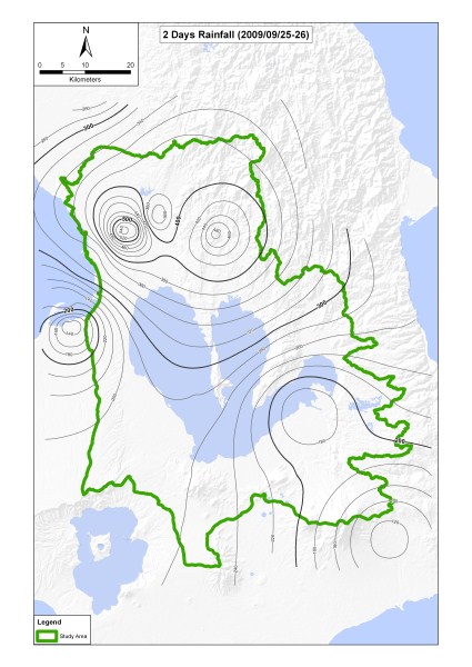
Sample Outputs:
|