|
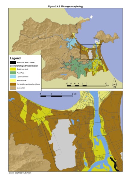
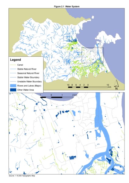
To understand the existing conditions of the study area and to know the spatial distribution of development constraints and opportunities to support the development of a comprehensive master plan for Danang City, a comprehensive GIS database was developed for "The Study on the Integrated Development Strategy for Danang City and Its Neighboring Areas in the Socialist Republic of Vietnam (DaCRISS)". Based on this, many thematic maps and analyses were produced.
The DaCRISS Map Viewing System, which is a compilation of the GIS outpust of project was developed to facilitate the dissemination of information and encourage maximum use of the DaCRISS GIS database. It also provides functions to view the mapping outputs in several ways including the ability to manipulate actual GIS data developed for the study. Menu based system is used to easily navigate through the numerous mapping outputs of DaCRISS. It also allows technical and non-technical users to view and work with map data without the need of expensive GIS nor CAD software.
Sample Outputs:
|