|
The project calls for the formulation of the Comprehensive Land Use Plan (CLUP) for Boracay Island as basis for enactment of appropriate local ordinances, identification of relevant insfrastructure and support needs, as well as framework for future development and conservation of resources.
SRDP provided the following GIS services:
- GIS and mapping support
- Data gathering, processing, analysis and documentation
- Preparation of GIS base map involving satellite image procurement and processing, ground control survey, and digitization
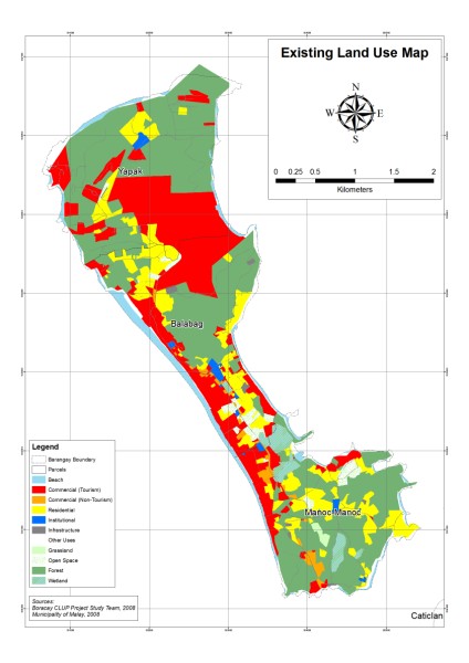
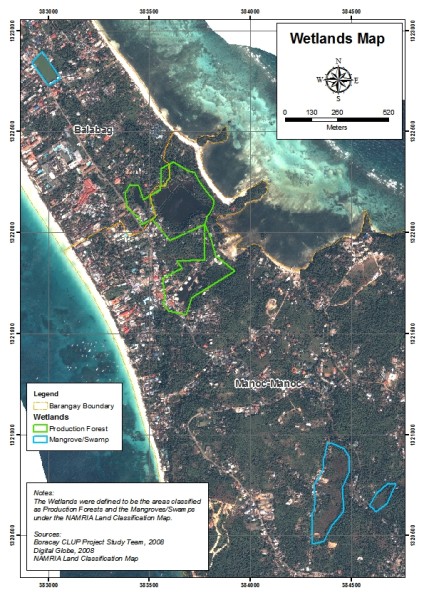
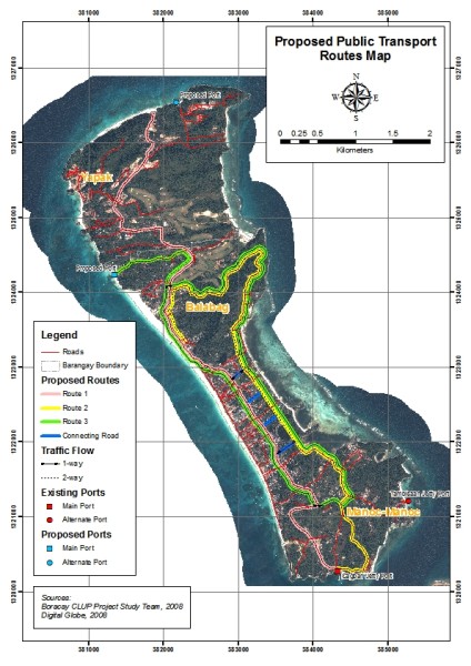
- Preparation of thematic maps
Sample Outputs:
|


