|
The detailed design aspect of the third phase of the Pasig-Marikina River Channel Improvement Project involved the review of the existing flood control plan and previous detailed designs, additional surveys, basic design formulation, design of proposed facilities, preparation of construction plans, cost estimates and operation and maintenance plan, conduct of environmental impact assessment study and the proposed disposal site for dredged materials, assistance in the implementation of resettlement action plan, assistance in the establishment of proposed flood mitigation committee, and information campaign and publicity.
The project covered the stretches of the Pasig River from Del Pan Bridge to the Napindan Hydraulic Control Structure (NHCS) (about 9.9 km) and the Lower Marikina River from the NHCS to the Rosario Weir of the Manggahan Floodway (about 5.4 km). A disposal area near Laguna Lake was likewise identified.
SRDP provided the following services:
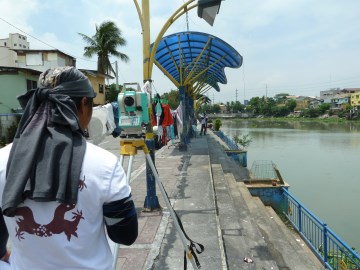
- Establishment control points
- Topographic survey
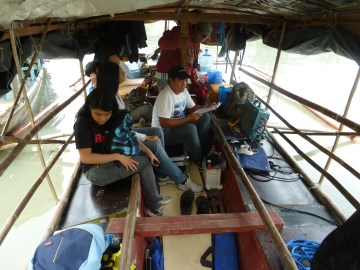
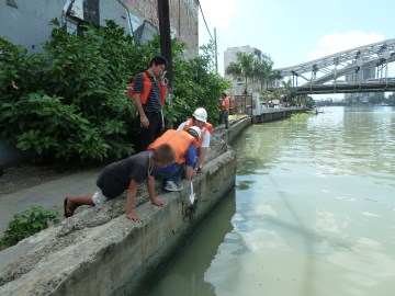
- Hydrographic survey
- Drainage survey
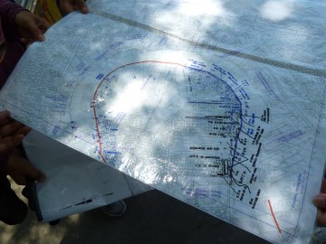
- Field correction of existing plan map
- Deployment of Geodetic Specialist to the study team
|